An Caisteal and Beinn a’ Chròin are a tough pair of Munros that sit in the Crianlarich hills, just south of the A82. “The Castle” and “Hill of Danger” — both names are earned. An Caisteal is a steep, boggy slog in wet weather, and the scramble on the ridge to Beinn a’ Chròin includes a section that will test anyone who isn’t comfortable with heights. This was one of the more demanding days we’ve had in the mountains, and a gap of several months between hill days certainly didn’t help.
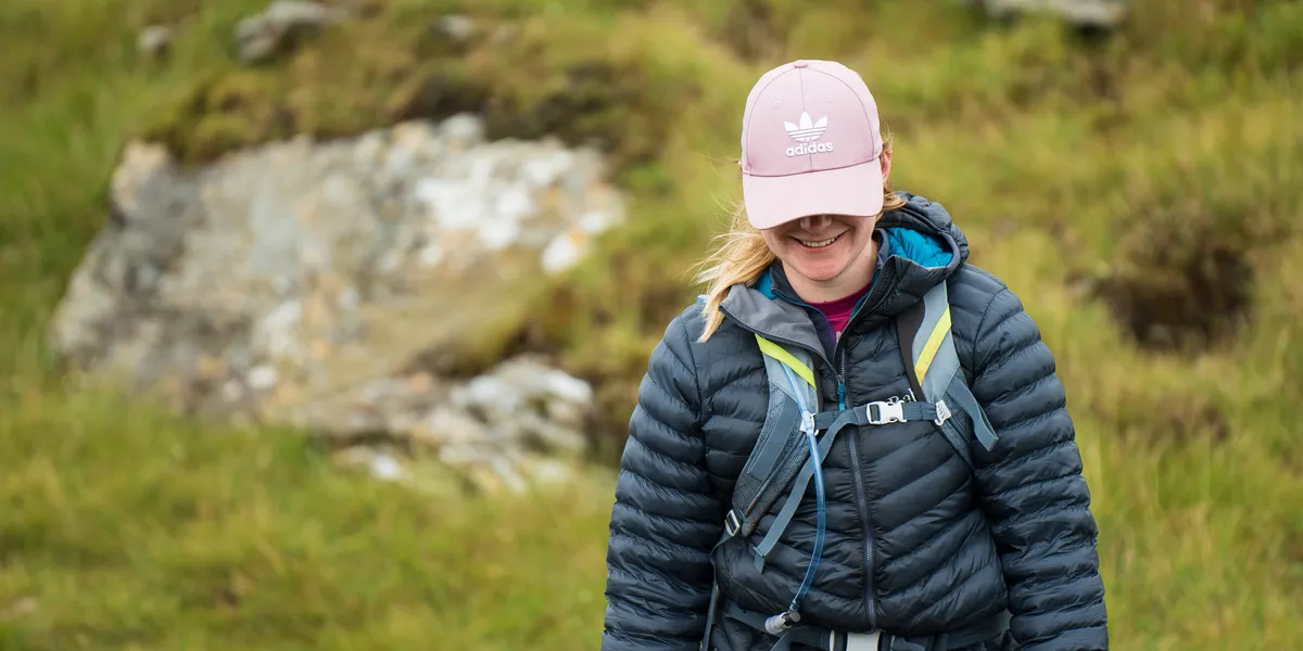
These were Munros 14 and 15 for us. We brought Lewis, our golden retriever, which added an extra dimension of challenge when the scramble arrived. More on that shortly.
Route Overview
- An Caisteal — Munro — The Castle — 995m
- Beinn a’ Chròin — Munro — Hill of Danger / Hill of the Cloven Hoof — 942m
- Total distance: 14km
- Total ascent: 1,045m
- Difficulty: Strenuous — boggy approach, exposed scrambling, long valley walk-out
| Munro Name | Pronunciation | Translation | Height |
|---|---|---|---|
| An Caisteal | An Cash-tyall | The Castle | 995m |
| Beinn a’ Chròin | Ben a Chro-in | Hill of Danger | 942m |
The route starts from a layby on the A82, climbs An Caisteal via Sron Garbh, traverses the ridge to Beinn a’ Chròin (including a challenging scramble), then descends into the valley for a long walk-out back to the road.
Getting There and Parking
The hike starts from a small layby on the A82, just north of the Inverarnan turning near Crianlarich. Free roadside parking with limited spaces — arrive early on weekends.
From Glasgow, the layby is about 90 minutes up the A82. From Edinburgh, allow around two hours. Crianlarich has accommodation and a small shop if you’re making a weekend of it.
The start of the hike near the A82 layby
One note: we reached the car park and started down what we thought was the path, only to spot the real path in the adjacent field. Based on the footprints, we weren’t the only ones caught out by this false start.
The Ascent — An Caisteal via Sron Garbh
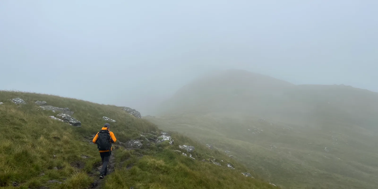
The hike up was, to put it plainly, miserable. Constant mizzle soaked both us and the path, making this one of the boggiest treks we’d encountered. The trail and rain remained constant through the first two to three hours as we followed the route over Sron Garbh.
The boggy path up towards An Caisteal in the mizzle
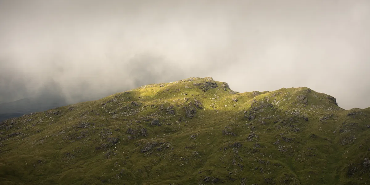
Eventually the footing improved as we gained height and the ground became rockier. The gradient is steep and unrelenting — comparable to Ben Challum in its directness, though the terrain is rougher and less well-trodden.
Gaining height on the slopes of An Caisteal
An Caisteal Summit — 995m
Reaching the summit provided the same views many hillwalkers will have experienced — complete cloud cover and visibility of less than 50 metres. We did the traditional tap of the cairn and scarpered off the exposed summit to find somewhere more sheltered to eat our jam sandwiches.
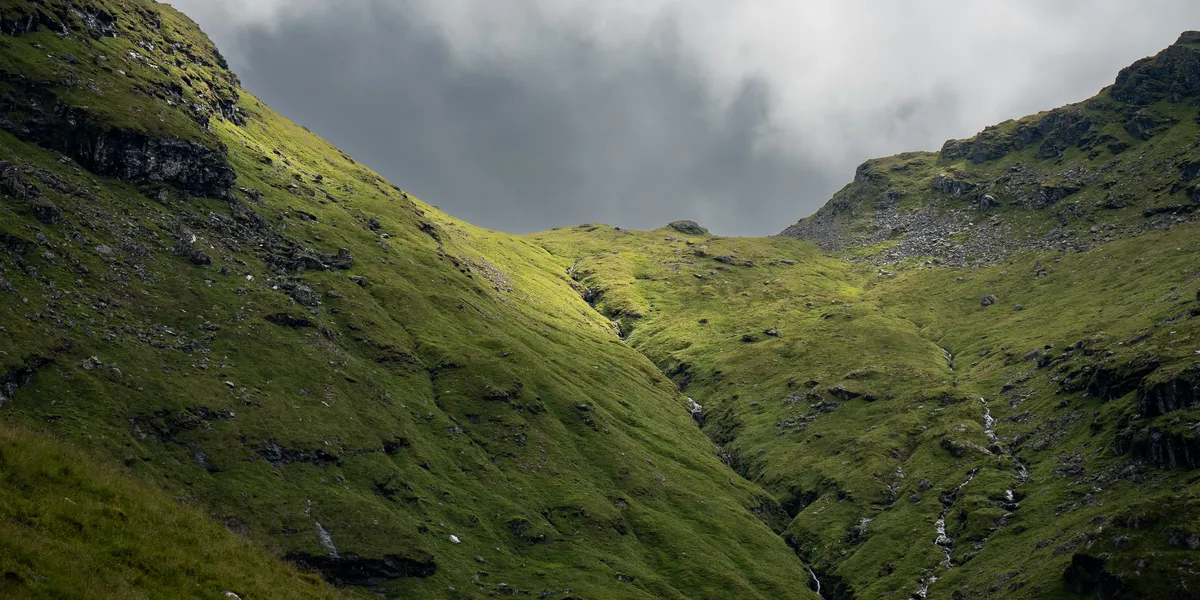
We descended to the bealach between An Caisteal and Beinn a’ Chròin for a rest. After a bit, the rain started to relent and the cloud cover gave small glimpses of the ridge we’d be ascending.
Resting in the bealach between An Caisteal and Beinn a' Chròin
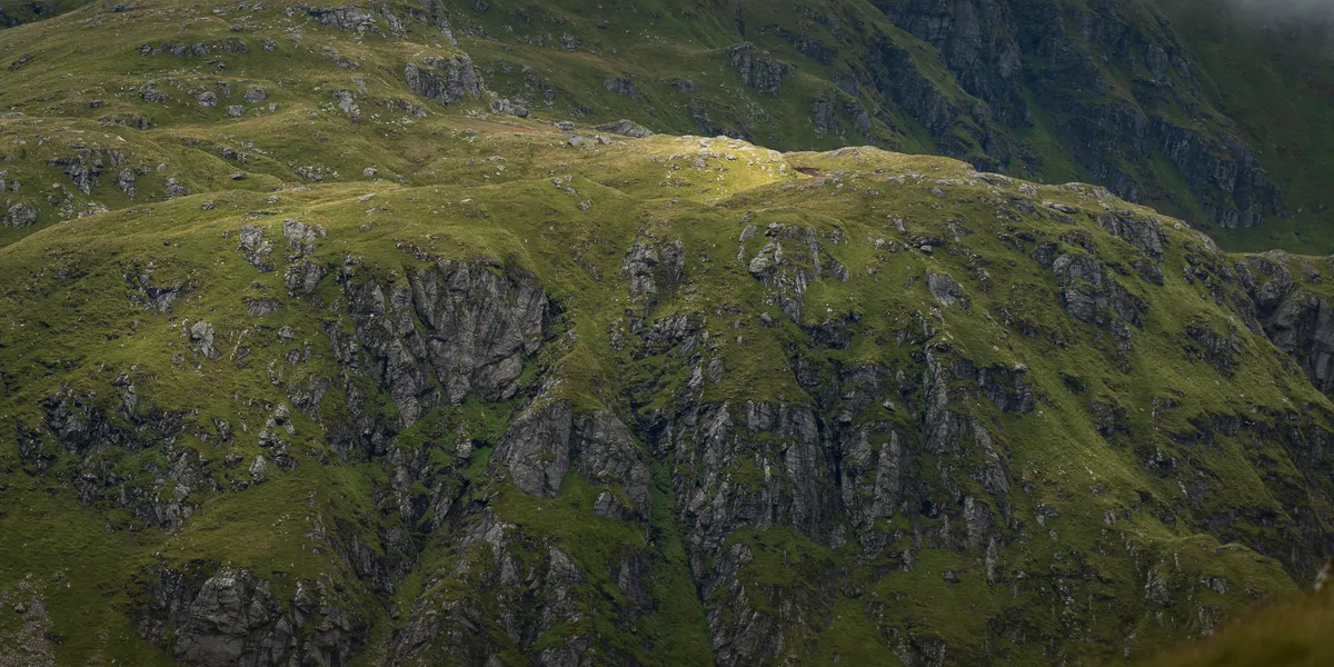
The Scramble — The Ridge to Beinn a’ Chròin
This is where the day gets serious. After chatting with some other hillwalkers, we made our way up and around the rocky face of the Beinn a’ Chròin ridge and reached one of the trickiest scrambles we’d faced.
I should give the disclaimer that I am not comfortable with heights, and if you slipped at this point of the scramble, the consequences would be severe.
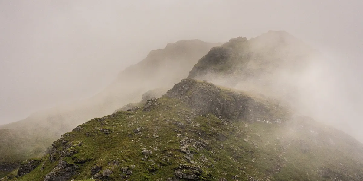
The exposed scramble on the ridge to Beinn a' Chròin
Having to lift Lewis up and over the ledge whilst balancing on footholds that weren’t quite as secure as I’d have liked got my heart racing considerably. I was, for lack of a better phrase, absolutely terrified after getting Lewis up and over and then having to haul myself and a heavy camera bag over the same section in less-than-ideal weather.
Thankfully all three of us made it past this section relatively unharmed — although Lewis did crack a nail on his paw, which resulted in a lot of blood. Not ideal.
A word of warning: this scramble is exposed and should not be underestimated. In wet conditions, the rock is slippery and the consequences of a fall are serious. If you’re not comfortable with scrambling, consider an alternative approach or doing An Caisteal as a standalone.
Beinn a’ Chròin Summit — 942m
On the ridge approaching Beinn a' Chròin
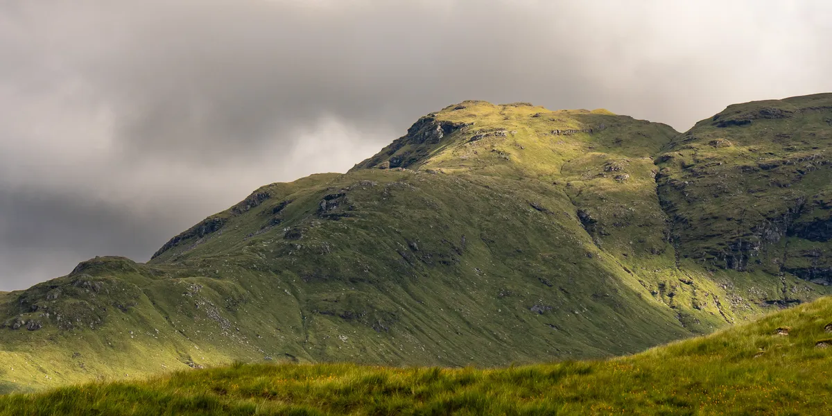
Once past the scramble, the ridge across to the summit of Beinn a’ Chròin was a pleasant and quick walk. We reached the summit, tapped the cairn, and headed off the exposed peak to find shelter.
We skipped the false summit of Beinn a’ Chròin — it would have been an additional 5–10 minutes for 40m of extra climbing — and instead followed our planned route off the mountain and into the valley.
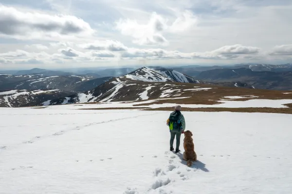
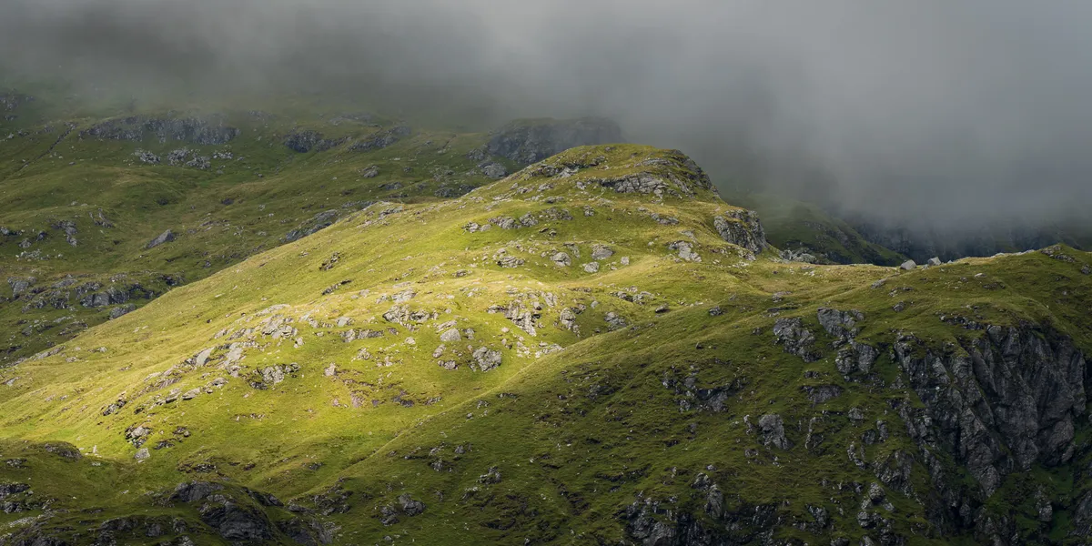
Views clearing from the Beinn a' Chròin ridge
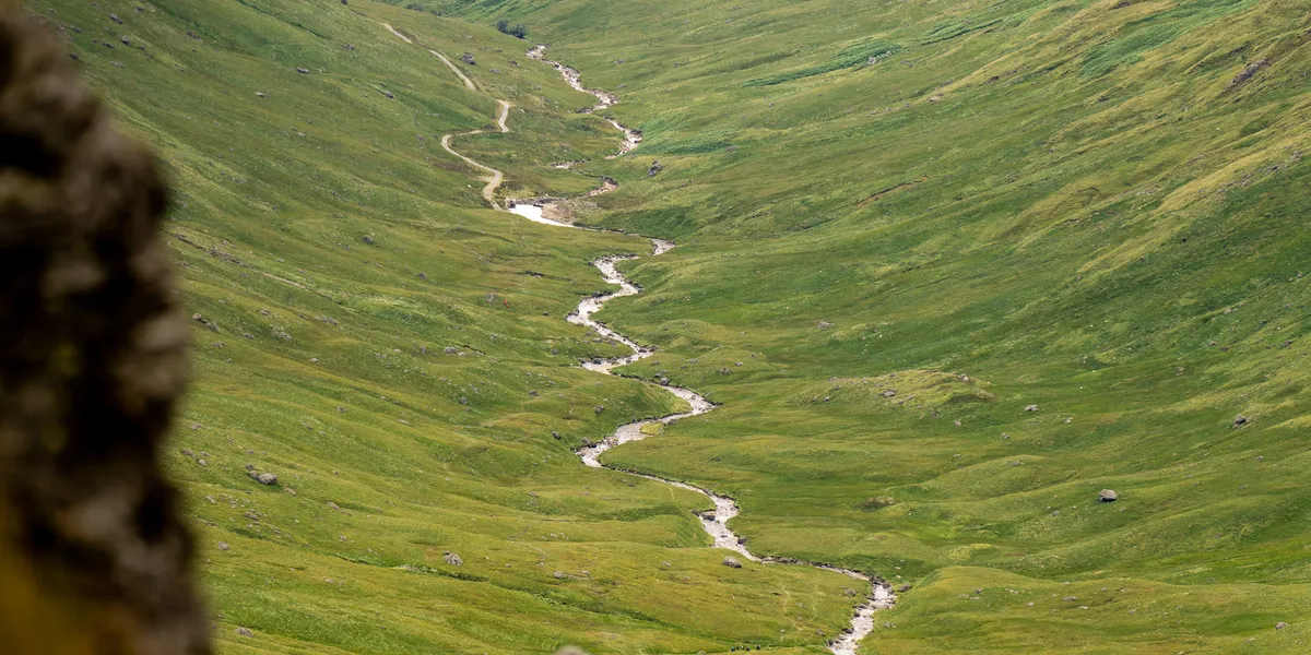
The Valley Walk-Out
As we descended, the weather finally changed for the better. Clouds lifted, bursts of sun broke through, and I managed to capture some of my favourite photos of the year with my Tamron 70–180mm lens.

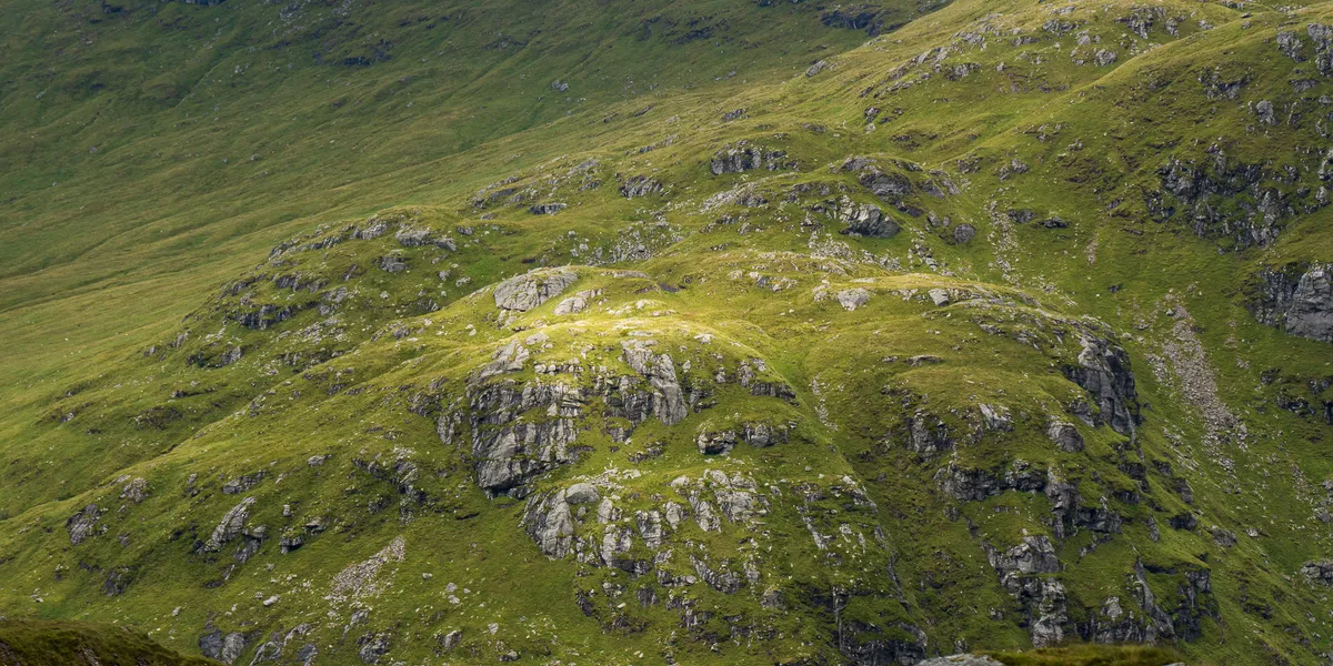
Clearing weather over the Crianlarich hills
The path down was eroded in places but not too challenging — the most treacherous part was the boggy slopes, which caught me out and landed me on my backside in dramatic fashion, much to Donna’s amusement.
The long walk through the valley back to the road
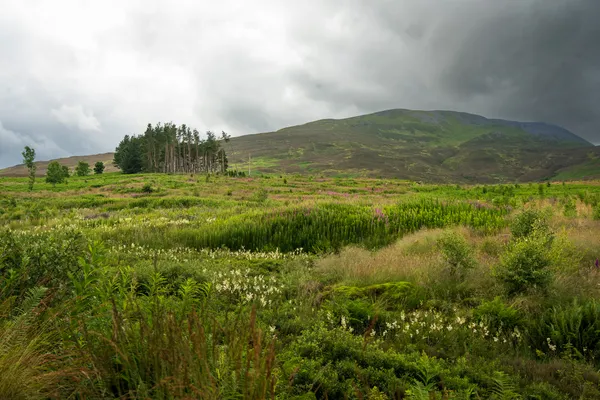
The remaining 6km through the valley alongside the river was exhausting and fairly quiet. It felt like the trees at the end of the valley were staying the same size no matter how long we walked. Eventually we hit the road by the small dam and the rest of the way home was quick.
Golden light on the hillside during the walk-out
When to Climb An Caisteal and Beinn a’ Chròin
Summer (May–September) gives the driest conditions for the boggy approach and the scramble. Long days give you plenty of time for the valley walk-out.
Autumn (October–November) can be excellent — golden colours in the valley and often clearer visibility. The scramble needs dry rock.
Winter (December–March) makes the exposed scramble considerably more serious. Snow and ice on the ridge require winter skills, crampons, and an ice axe.
Spring (March–April) is likely to be boggy on the approach. Check forecasts and be prepared for mixed conditions.
Combine With
The Crianlarich area is packed with Munros. Cruach Ardrain and Beinn Tulaichean are accessible from a layby just south along the A82, and Ben More and Stob Binnein are a short drive east along the A85. Ben Challum near Tyndrum is also within easy reach for a multi-day trip.
Tips for This Route
- The path start is easy to miss. Look for the path in the field adjacent to what looks like the obvious start. The footprints suggest many people make the same mistake.
- Waterproof boots are non-negotiable. The lower slopes are seriously boggy, especially after rain.
- The scramble on Beinn a’ Chròin is the crux. Don’t underestimate it, especially in wet weather. If you’re not comfortable, An Caisteal makes a good standalone Munro.
- The valley walk-out is long. Factor 6km of flat walking into your energy and time planning. It feels longer than it should when your legs are tired.
- Dogs need careful management. The scramble section required us to physically lift Lewis — that’s not feasible with every dog.
Frequently Asked Questions
How hard is An Caisteal and Beinn a’ Chròin? The combination of 1,045m ascent, boggy terrain, an exposed scramble, and a long valley walk-out makes this one of the harder double-baggers in the area. Allow 7–9 hours.
Is there scrambling on Beinn a’ Chròin? Yes — the ridge approach to Beinn a’ Chròin includes an exposed scramble that requires hands and a head for heights. In wet conditions, it’s significantly more challenging. There are bypass options but they add distance.
Where do you park for An Caisteal? Small layby on the A82 near Crianlarich, north of the Inverarnan turning (FK20 8QT). Free roadside parking, limited spaces.
Is this route suitable for dogs? The scramble is the main concern. We took Lewis, our golden retriever, and had to physically lift him over the exposed section. This required balancing on precarious footholds while managing a large dog — it was stressful and not something we’d recommend unless your dog is small enough to carry easily. Lewis also cracked a nail on the rock, so consider your dog’s experience on rocky terrain.