Cruach Ardrain and Beinn Tulaichean sit in the Crianlarich hills with Ben More and Stob Binnein visible across the glen. The approach is pathless in places, which makes navigation part of the challenge, but the reward is excellent views over Loch Doine and Loch Voil and a genuinely satisfying double-bagger across the Southern Highlands.
These were Munros 9 and 10 for us — early days in our bagging career. We brought the dogs, which added complication when fence-climbing was required.
Route Overview
- Cruach Ardrain — Munro — Stack of the High Water — 1,046m
- Beinn Tulaichean — Munro — Hill of Hillocks — 946m
- Total distance: 14.2km
- Total ascent: 1,037m
- Moving time: ~5 hours
- Difficulty: Strenuous — pathless sections, steep ascent, exposed summits
| Munro Name | Pronunciation | Translation | Height |
|---|---|---|---|
| Cruach Ardrain | Croo-ach Ar-drain | Stack of the High Water | 1,046m |
| Beinn Tulaichean | Ben Tool-a-chen | Hill of Hillocks | 946m |
The route starts from a layby on the A82 south of Crianlarich, follows a track past a farm, then climbs pathless slopes to Beinn Tulaichean before traversing to Cruach Ardrain.
Getting There and Parking
Small layby on the A82 south of Crianlarich, near the Glen Falloch junction. Free roadside parking, limited spaces. From Glasgow, allow about two hours via Stirling.
From the layby, follow the road past the farm and up to a gate with a stile. Once over, follow the river and the small path until you reach a track.
The path heading past the farm at the start of the route
The Approach — Pathless Slopes to Beinn Tulaichean
Follow the track uphill and look for a cairn marking where you leave it for the grassy slopes. There’s no real path — the going is harder than more popular Munros and navigation skills matter here.
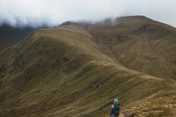
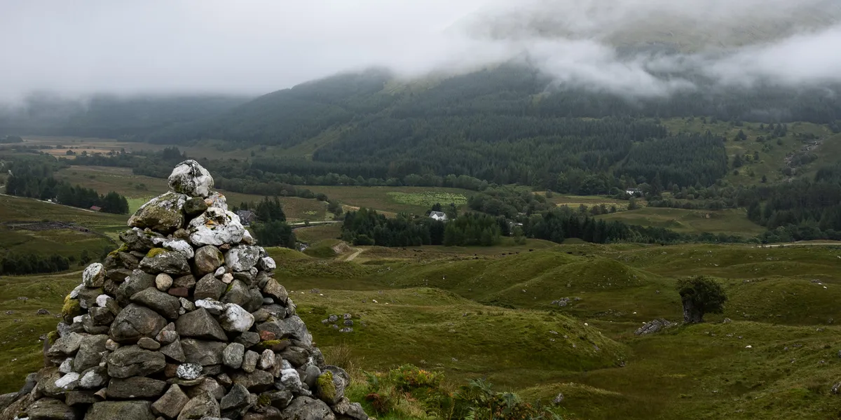
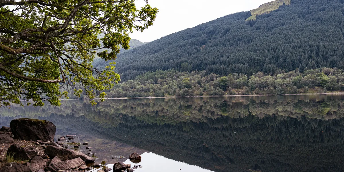
Views back down the valley towards Loch Doine and Loch Voil
At around 500–550m, a fence sweeps around the mountain. Follow it right to find a rusted metal gate that’s easier to cross. Dog owners: you’ll likely need to lift dogs over the fence.
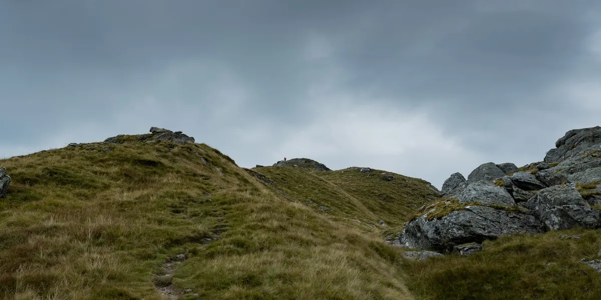
Past the gate, veer left to find a more defined path to Beinn Tulaichean. Around 700–800m there’s a welcome break in the gradient before the final push.
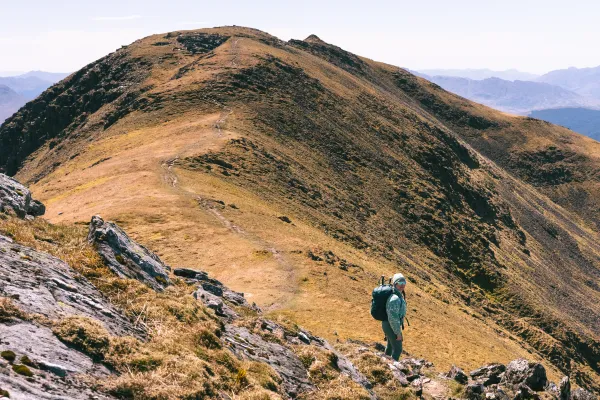
The slopes of Beinn Tulaichean with improving views
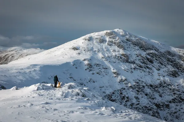
Beinn Tulaichean Summit — 946m
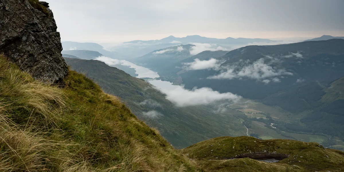
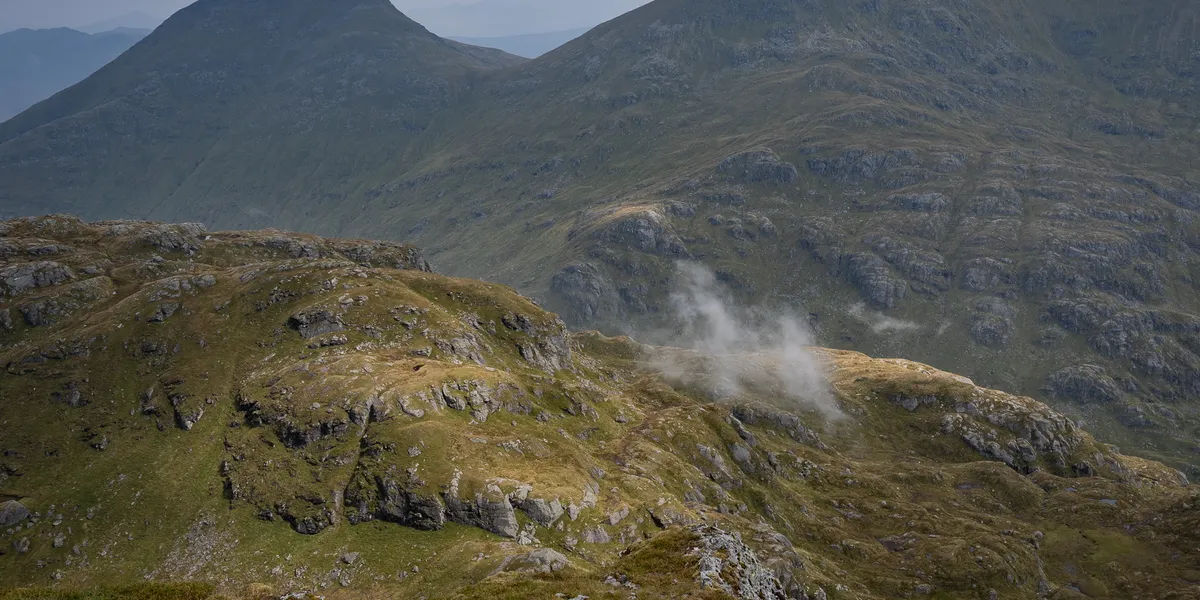
The final climb is short, sharp, and slightly more technical. The summit views back down into the valley are excellent — both Loch Doine and Loch Voil stretch out below on a clear day.
Summit views from Beinn Tulaichean
Cruach Ardrain Summit — 1,046m
From Beinn Tulaichean, it’s a straightforward traverse to Cruach Ardrain. At 1,046m you can see across to Ben More and Stob Binnein and north towards Ben Challum.
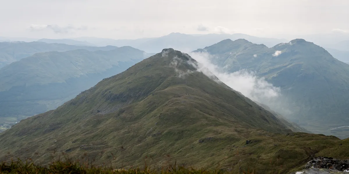
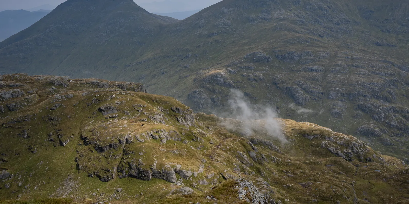
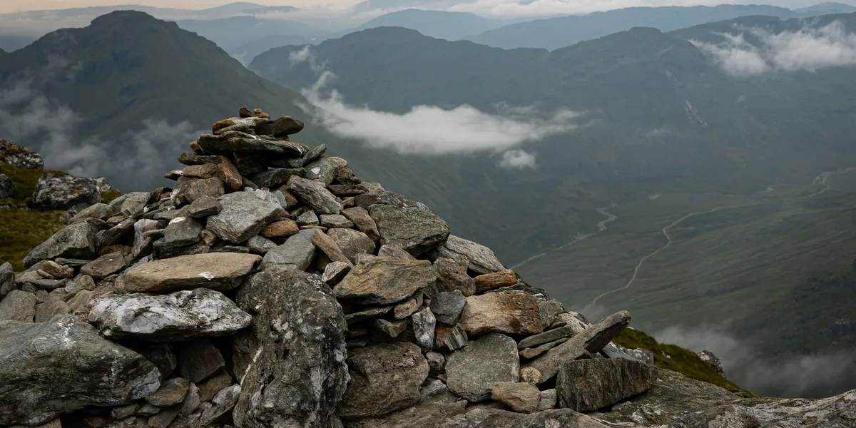
Views from the summit of Cruach Ardrain
We noticed formidable rain clouds approaching and the wind quickly stole all warmth. We cut our summit stop short.
The Descent
From Cruach Ardrain, look for a small cairn marking the path down to the left of Beinn Tulaichean. The path disappears at times, but the overall descent is manageable. You eventually reach a farmer’s access road for a pleasant walk back to the car.
The descent path from Cruach Ardrain
The walk back through the valley
Dog owners: there are sheep across both mountains. Keep dogs on leads at all times.
When to Climb
Summer (May–September) gives the driest conditions for pathless slopes. Autumn brings golden colours. Winter adds navigation difficulty — crampons may be needed. Spring can be boggy.
Combine With
An Caisteal and Beinn a’ Chròin are accessible from a nearby layby. Ben More and Stob Binnein are visible across the glen and a short drive east. Ben Challum near Tyndrum is also within easy reach.
Tips for This Route
- Navigation skills matter. The pathless lower slopes need map and compass or GPS confidence.
- The fence gate at 500–550m is your friend. Easier than climbing the fence.
- Dogs must be on leads. Sheep graze extensively — keep dogs leashed throughout.
- Weather changes fast. Both summits are exposed and conditions can shift in minutes.
Frequently Asked Questions
How hard are Cruach Ardrain and Beinn Tulaichean? The 1,037m of ascent and pathless approach make this a proper day. Allow 6–8 hours.
Where do you park? Small layby on the A82 south of Crianlarich (FK20 8QT). Free, limited spaces.
Is this route suitable for dogs? Dogs must be on leads due to sheep. You may need to lift them over fences. No scrambling, so the terrain is physically manageable.