Ben Vorlich and Stuc A' Chroin - Hike Report
| Munro Number: | 29 + 30 |
| Date: | May 19 2024 |
| Ascent: | 1207m |
| Distance: | 16.76km |
| Moving Time: | 5:50:03 |
| Total Time: | 7:53:52 |
| GPX File: | Download |
Route Map And Elevation Profile
Route Elevation Profile
Video Highlights
Hike Report
Hàlo agus Fàilte! Hello and Welcome - This is our hike report for Ben Vorlich and Stuc A’ Chroin up in the Scottish Highlands.
It was a fairly early start for us at 6am, we jumped in the van and started heading towards the car park at Ardvorlich. The starting point for this is only 1 hour and 20 minutes from our home in Glasgow, so it was a fairly quick journey.
There are limited parking spaces adorning the side of the road by Loch Earn, but we managed to get a spot tucked in behind a few other cars. It should be noted, there are no toilets or facilities at the starting point.
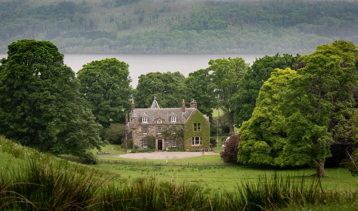
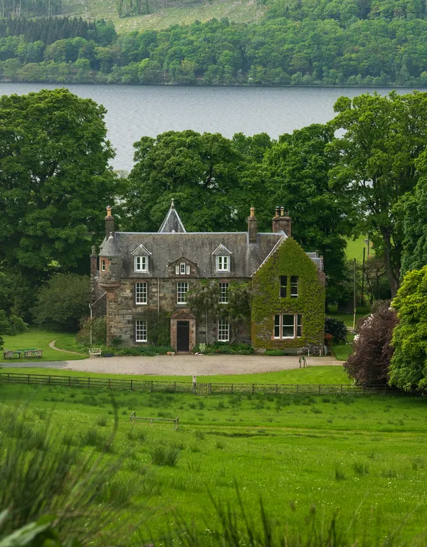
looking back from the start of the trail
Follow the road over the bridge and pass right through the stone gate to mark the start of your hike. There a few signs to point hikers in the right direction.
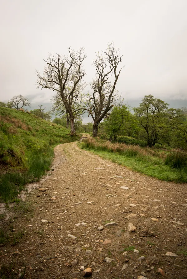
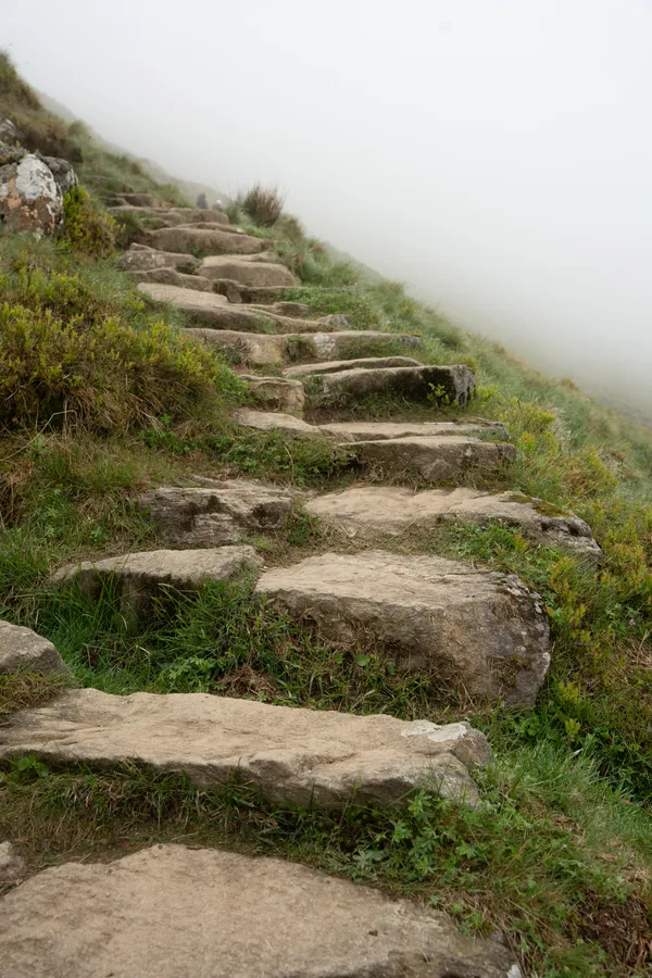
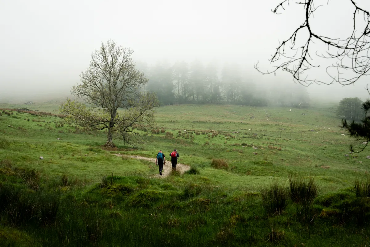
You’ll eventually come to a gate with a kissing gate to the right, head through this and follow the path up the hill. The path is surprisingly well maintained which makes for a really pleasant start and end to this hike.

the path winding up towards Ben Vorlich
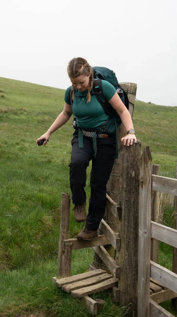
You’ll meet a few more gates which feature stiles on your path. As you ascend, the incline gets gradually steeper but the path remains well defined.
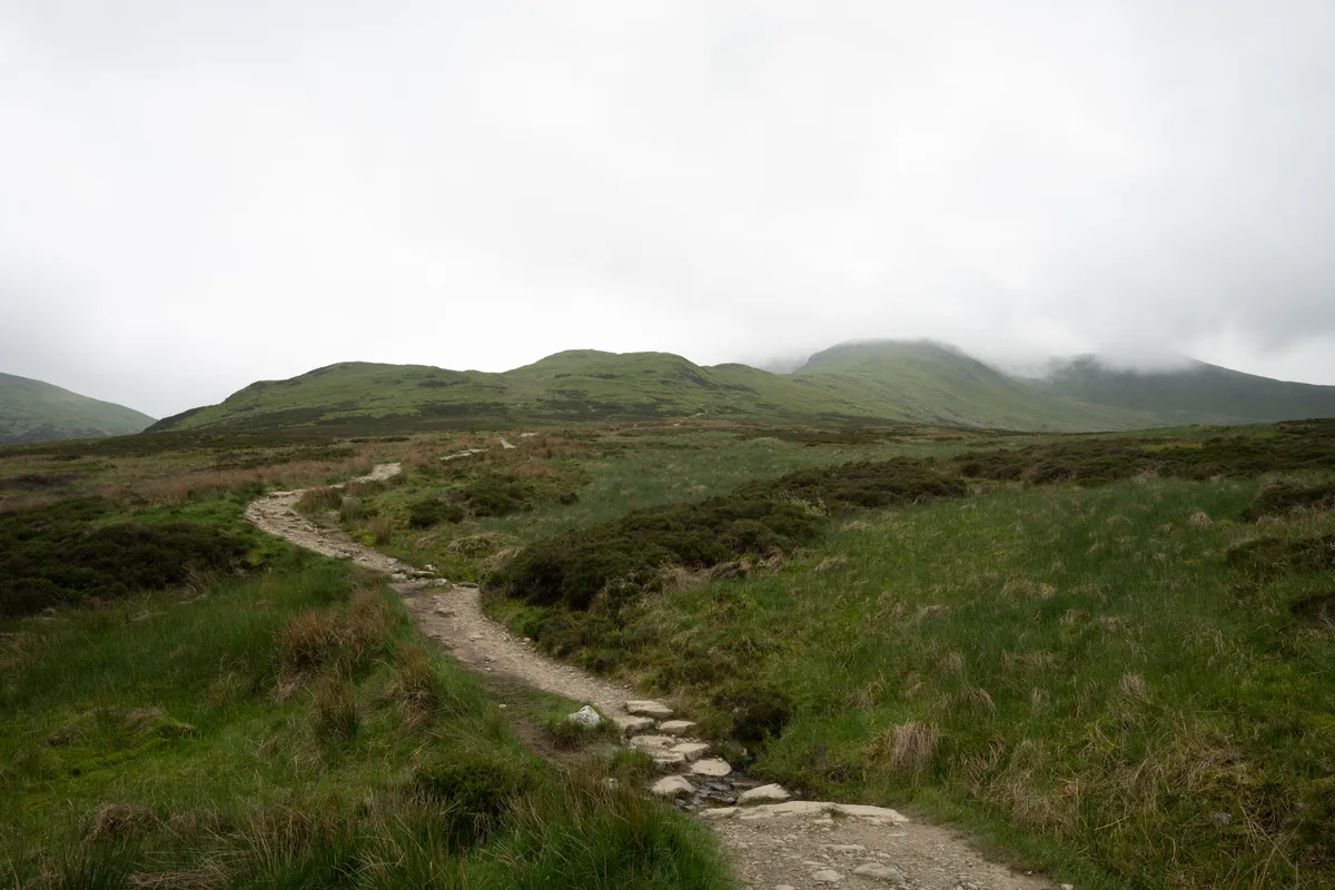
the path winding itself up the slopes of Ben Vorlich
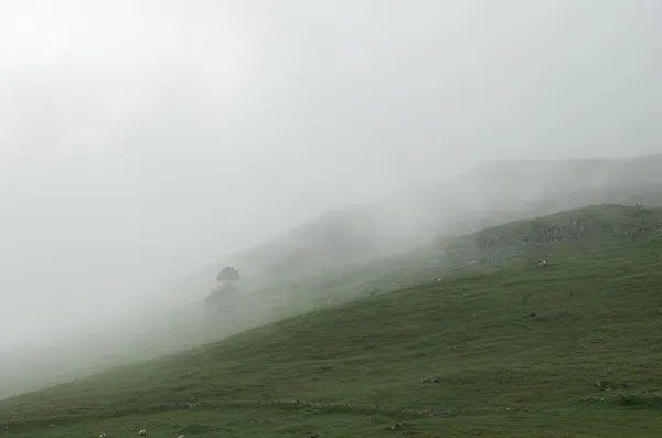
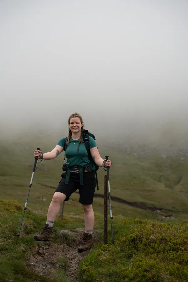
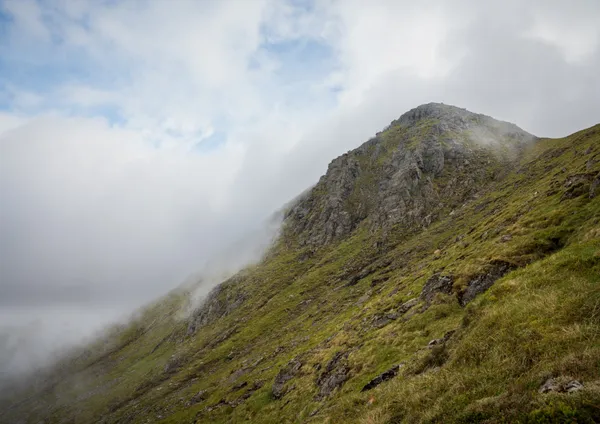
We were unfortunately treated to a fairly typical clagged in view of the summits that lay ahead of us, but we were treated to some great views back down towards Loch Earn.
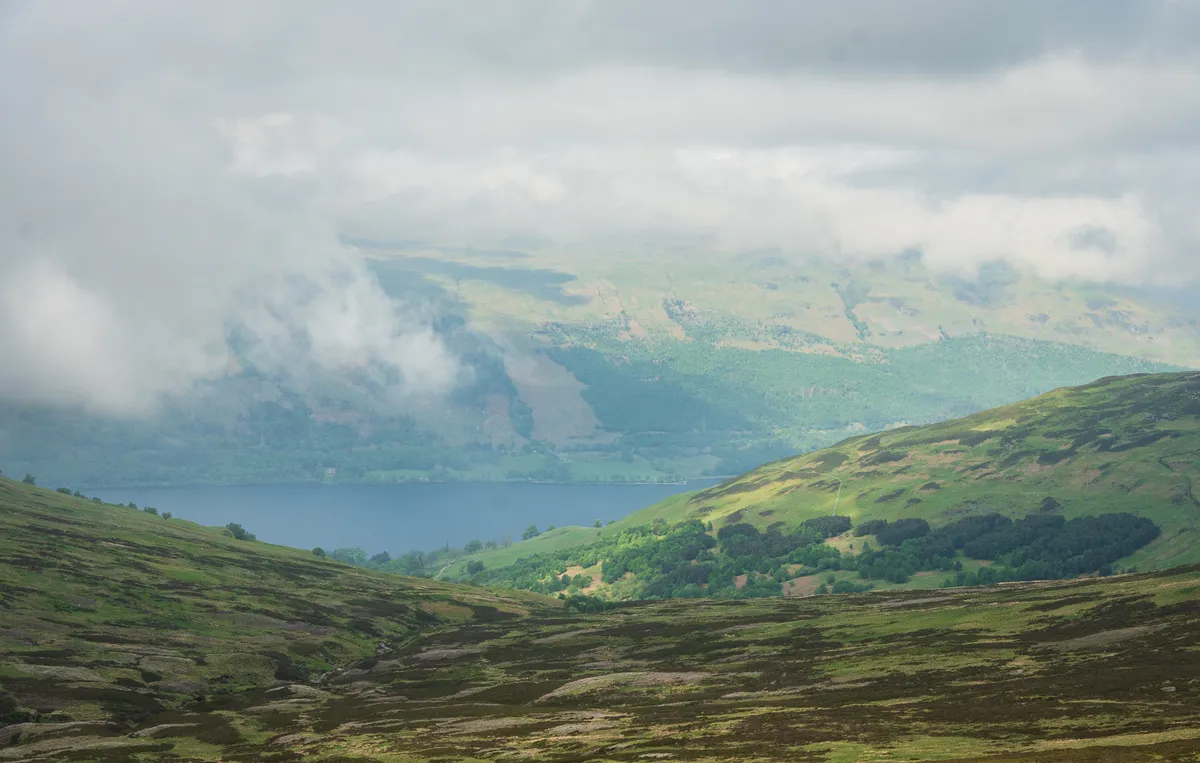
the views looking down to Loch Earn - taken on the return leg.
The final ascent to Ben Vorlich definitely felt like a little bit of a slog with the final section being the steepest.
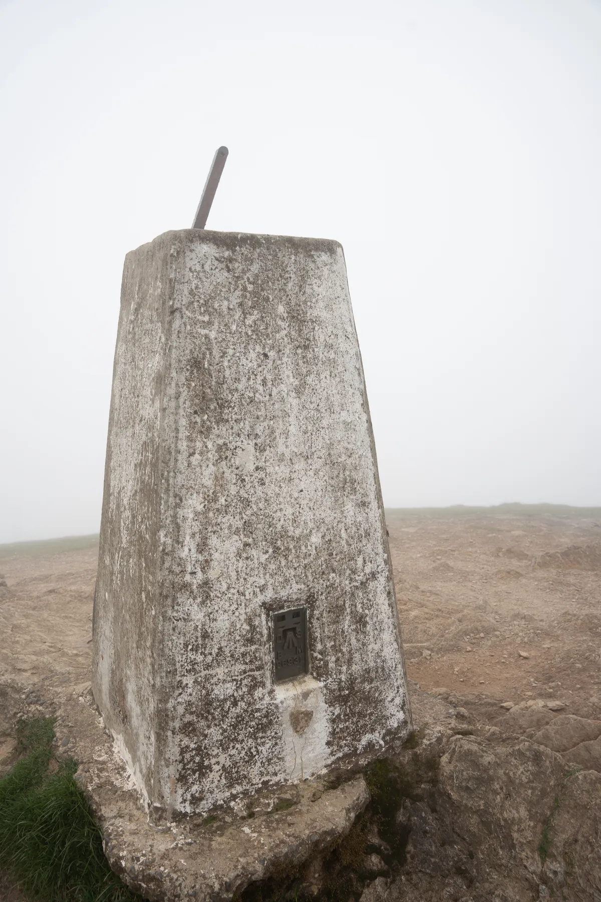
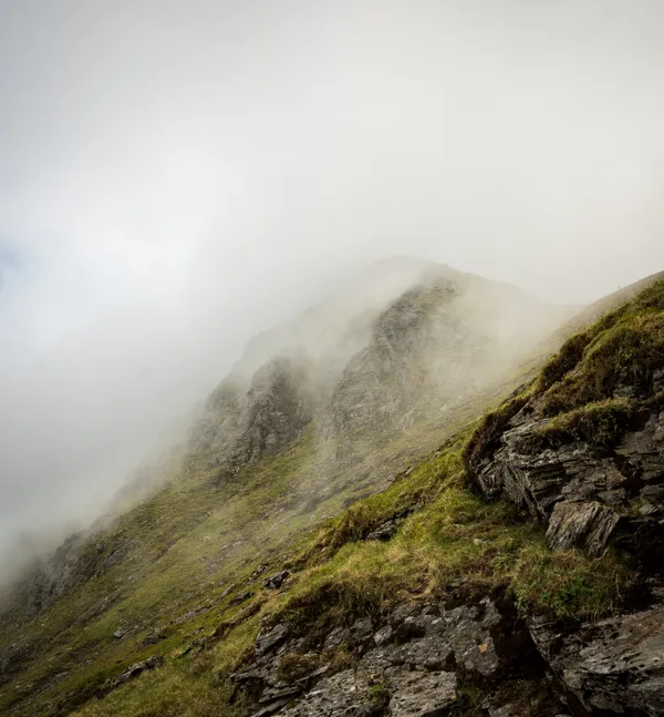
The summit cairn, with fantastic views of the clouds engulfing us.
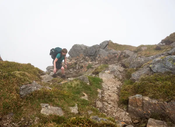
After doing the traditional booping of the cairn, the next step is to head on towards the summit of Stuc A’ Chroin. It’s worth noting that the second summit is a little more challenging than the first, with a few scrambly sections to navigate and some more technical terrain.
If you’re not confident with the concept of doing some scrambling, then it’s worth considering whether you want to tackle Stuc A’ Chroin.
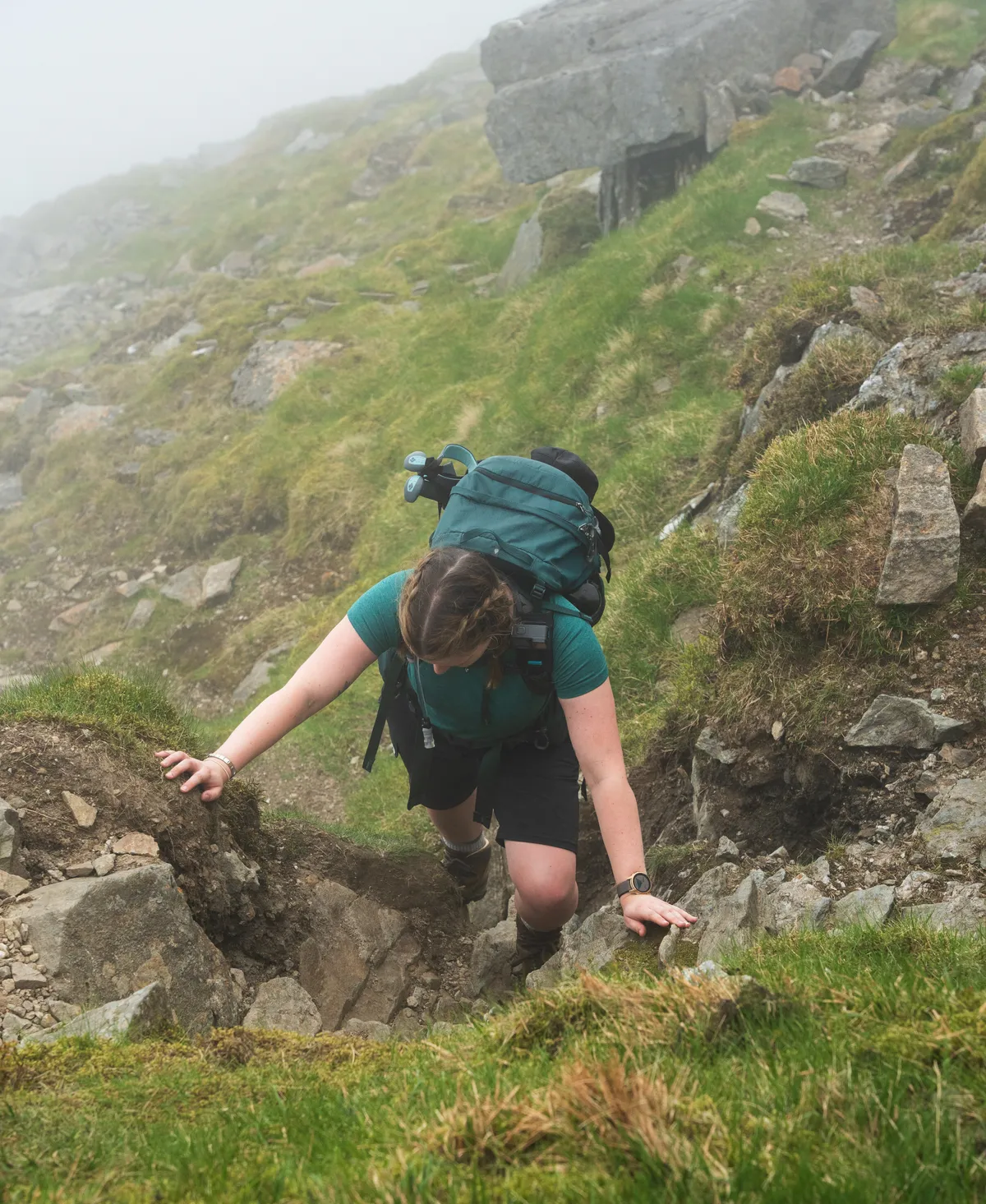
An action shot of Donna at a slightly more complex part of the scramble
There is quite a drop between the two summits, with some sections being quite slippery underfoot. Get your poles out and take some time to admire the views from the bealach.
You’ll eventually reach the start of the boulder field which marks the final, more challenging ascent, to the summit of Stuc A’ Chroin. There was one fairly challenging section that required some more careful consideration. I’m still not quite as comfortable with these sections as I’d like to be, but I thankfully managed to navigate it with no issues.
My heart rate may have spiked considerably during this section, but thankfully there was another, longer section of technically challenging terrain to overcome before you rather abruptly reach the summit.
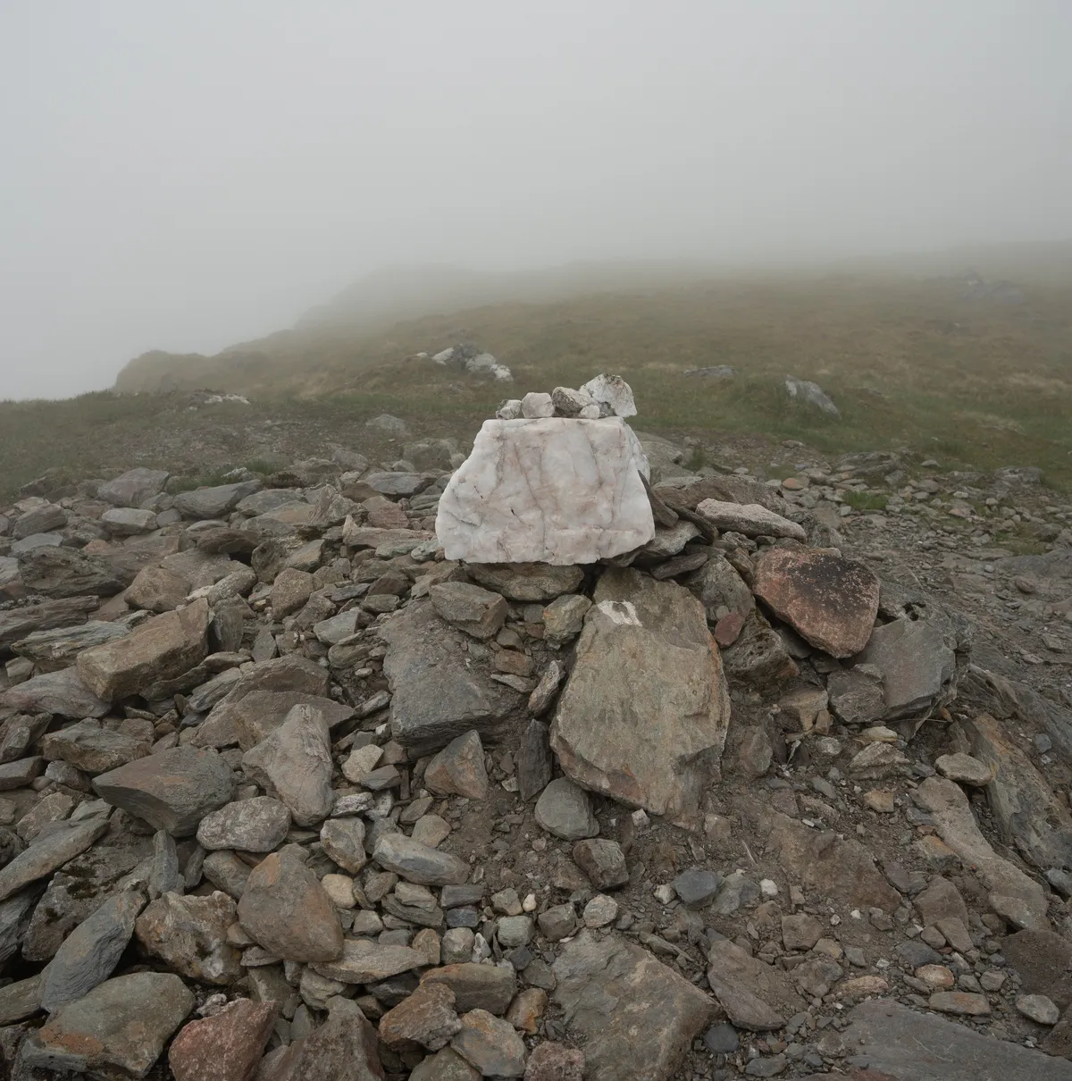
a fairly unremarkable cairn adorns the top of Stuc A' Chroin
The views for this summit are known to be exceptional, but unfortunately, we were treated to the same clagged in views that we’d had all day.
We sat for a while, had some snacks and waited and hoped for a break in the clouds to give us a glimpse of the surrounding area.
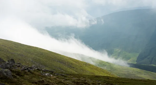
In typical fashion, as we started to descend, the clouds started to break and we were given a glimpse of the views that we’d missed out on.
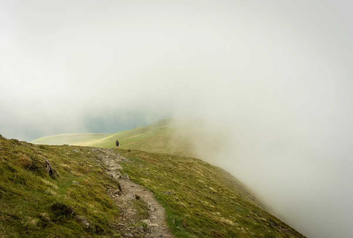
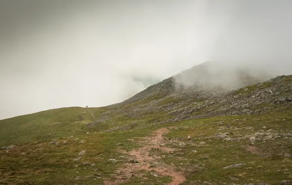
Cloud engulfing a lone hiker
Given the popularity of these two munros, the descent proved to be a little more eventful than we’d anticipated. The loose scree and boulders can prove dangerous for both yourself and for those below you, as we found out when a few larger rocks came tumbling down towards us, accompanied by a fair amount of warning shouts from above.
We carried on our way, following our navigation around the summit of Stuc A’ Chroin and around the slopes of Ben Vorlich. We managed to lose the path a few times, but the terrain is fairly forgiving and it’s easy to find your way back onto the path.
Once rounding the slope of Ben Vorlich, you’ll eventually rejoin the original well-defined path that you ascended on.
