Roadside layby on the A93, approximately 2km north of Glenshee Ski Centre. Free parking. No facilities on site — toilets and café available at the ski centre 2km south.
Càrn an Tuirc, Cairn of Claise, Glas Maol and Creag Leacach are the quieter neighbours of the Cairnwell group — far less frequented, far wilder, and arguably far more rewarding. Where the Cairnwell three feel almost like a resort outing, this 4-Munro circuit takes you deep onto proper high-altitude Cairngorm terrain: broad rolling plateaus, a sweeping ridge traverse, and the kind of views that remind you why you do this.
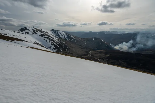
These four Munros arc across the southern fringe of the Cairngorm massif in a natural horseshoe. This route starts from a layby on the A93 about 2km north of Glenshee Ski Centre, climbing first to Càrn an Tuirc before swinging north to Cairn of Claise and then south to Glas Maol — at 1,068m, the highest point of the day — with its panorama stretching from the Cairngorm plateau to the north all the way back to the Glenshee ski runs to the south-west. A fine ridge then leads south-east to Creag Leacach before the descent back to the car park completes the circuit.
Route Overview
| Munro Name | Pronunciation | Translation | Height |
|---|---|---|---|
| Càrn an Tuirc | Karn an Toork | Cairn of the Boar | 1,019m |
| Cairn of Claise | Karn of Klash | Cairn of the Meadow/Hollow | 1,064m |
| Glas Maol | Glas Mool | Grey/Green Bare Hill | 1,068m |
| Creag Leacach | Crake Lyechach | Slabby Rock | 987m |
Getting There and Parking
The circuit starts from a roadside layby on the A93, approximately 2km north of Glenshee Ski Centre (PH10 7QE). Parking here is free and the layby holds several cars. There are no facilities at the start — the nearest toilets and café are at the ski centre 2km south down the road.
From Perth, allow around an hour on the A93 through Blairgowrie. From Edinburgh, approximately 90 minutes. From Glasgow, closer to two hours. The A93 is snow-gated in winter and can be closed in severe weather — always check road conditions before heading up.
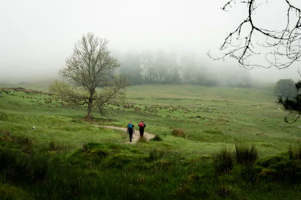
Stage 1 — From the Layby to Càrn an Tuirc (1,019m)
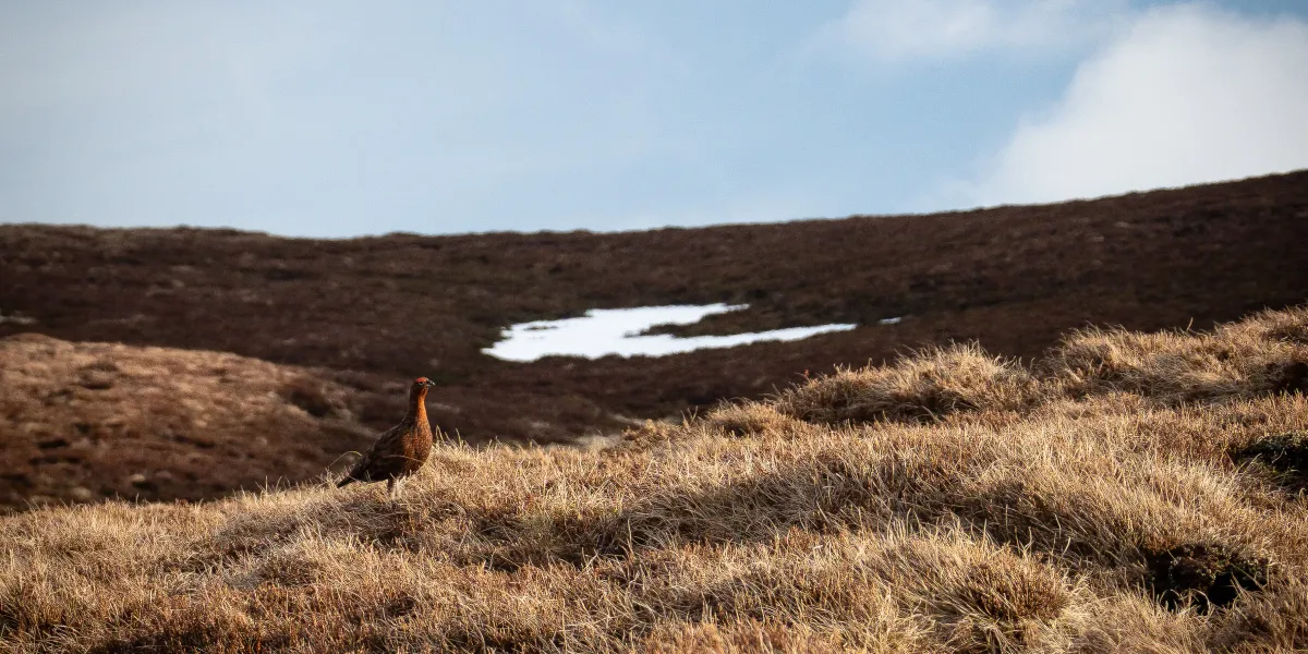
Grouse looking rather majestic in the morning sun
From the layby, head south-west onto open moorland, climbing steadily towards the ridge. There is no well-defined path from this start — the terrain is open and grassy, and you’ll be finding your own line from the outset. The gradient is manageable and the plateau opens up quickly as you gain height, with Càrn an Tuirc coming into view ahead.
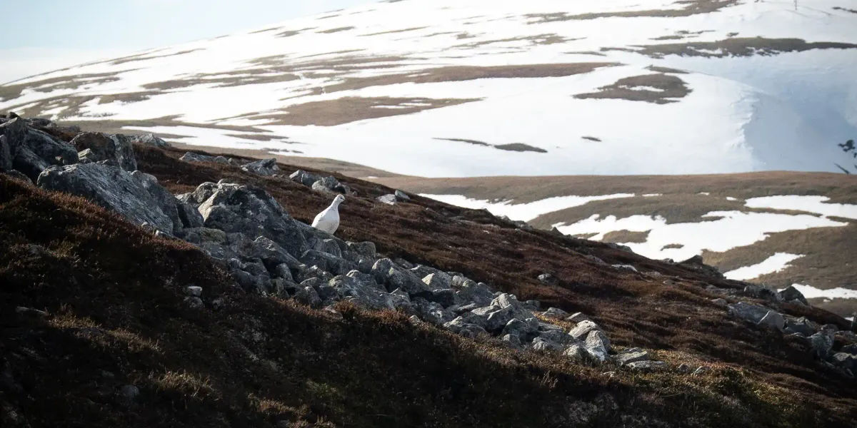
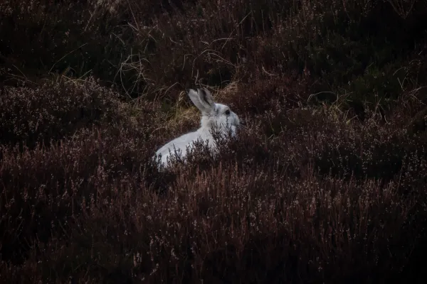
Rock Ptarmigan!!
Rock Ptarmigan are red on the UK Conservation Status - seeing them is quite rare, but we were lucky to see and hear two Ptarmigan during our ascent of Càrn an Tuirc.
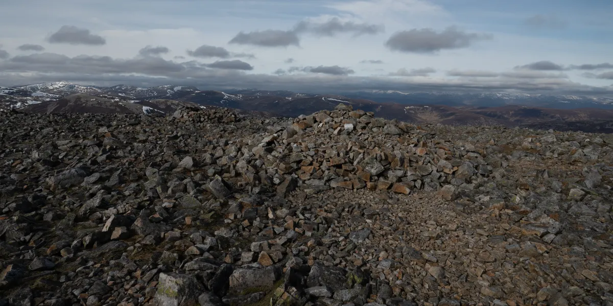
The cairn at the top of Carn An Tuirc
Not the prettiest summit, but the surrounding views from the summit make up for it.
Stage 2 — Cairn of Claise (1,064m)
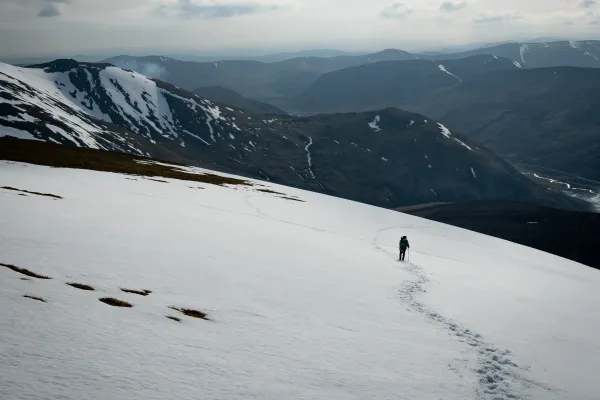
From Càrn an Tuirc, the route swings east and then south across the high plateau to Cairn of Claise — Cairn of the Meadow/Hollow — the second summit of the day at 1,064m. This is classic Cairngorm plateau walking: wide, windswept, and largely trackless. This is where a GPS track or good map-reading earns its keep — in clag, the featureless ground demands careful navigation.
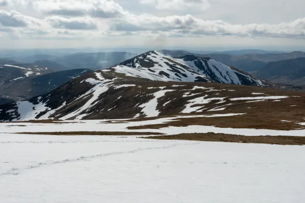
The summit gives wide views across the central Cairngorm plateau in all directions, with Glas Maol now visible close to the south.
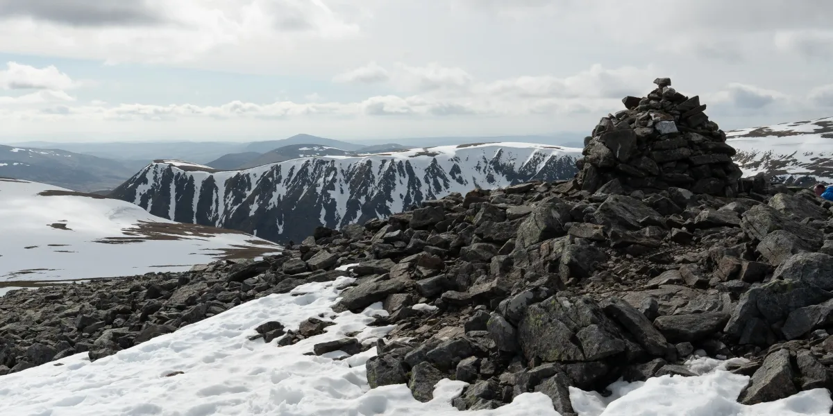
The summit of Cairn of Claise
Stage 3 — Glas Maol Summit (1,068m)
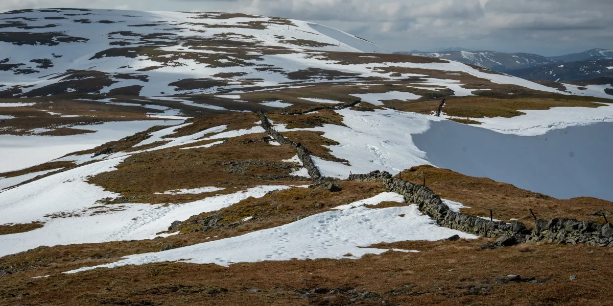
The path looking towards Glas Maol
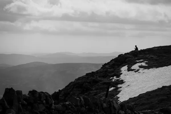
The 3.5km hike from the summit of Cairn of Claise brings you to the high point of the day: Glas Maol at 1,068m. The summit is marked by a small cairn on a broad, dome-like top. On a clear day the views are exceptional — the Cairngorm plateau to the north, Lochnagar to the north-east, and the rolling brown hills of eastern Perthshire stretching out to the south.
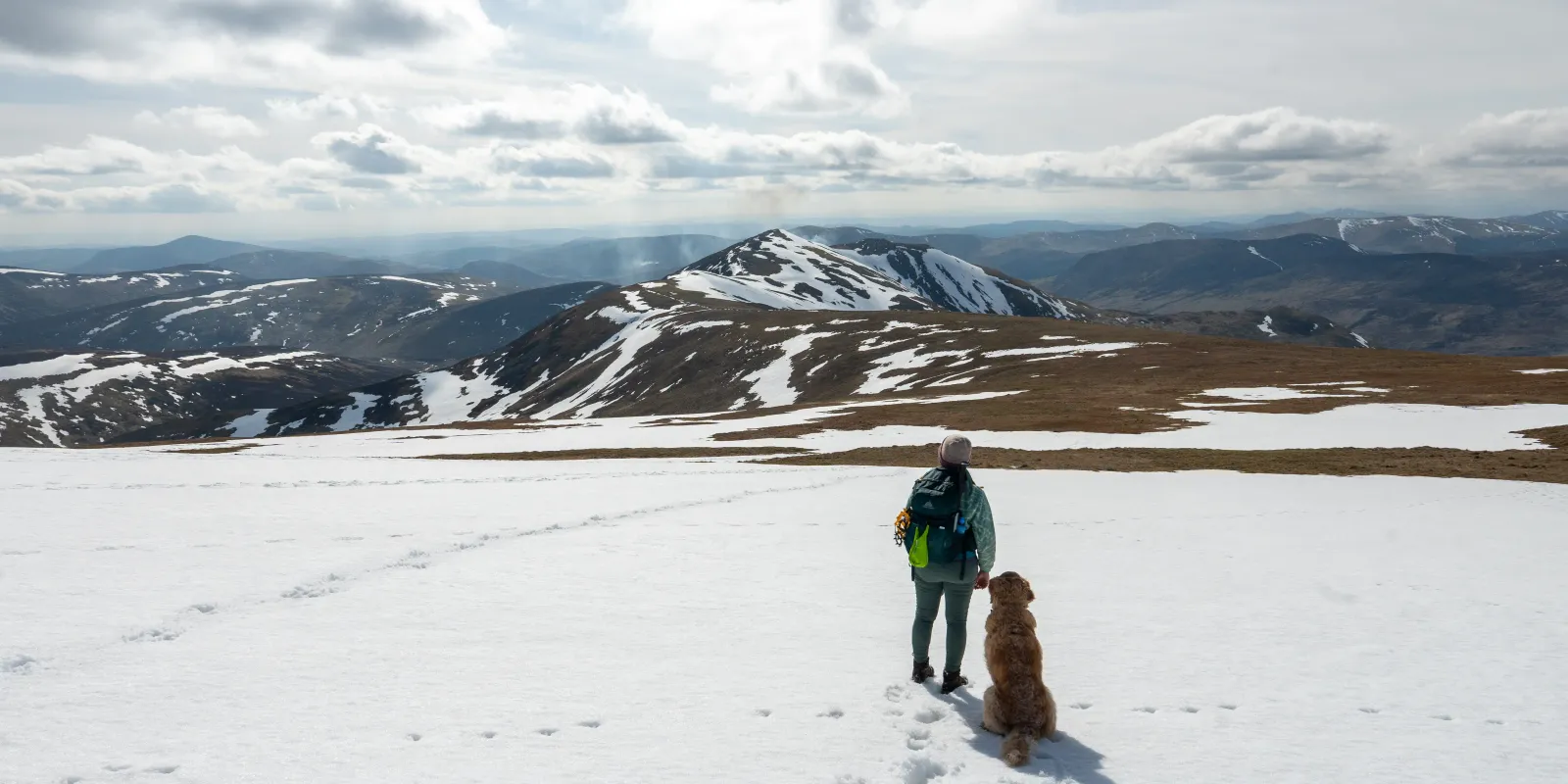
In winter the plateau can hold deep snow and the wind chill at this elevation is significant. Even in late spring, come prepared for cold, exposed conditions on the summit.
Stage 4 — The Ridge to Creag Leacach (987m)

Looking towards Creag Leacach
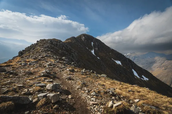
The walk from Glas Maol south-west to Creag Leacach is one of the highlights of the circuit — a broad but well-defined ridge with a gradual loss of height before the final pull up to the fourth summit. The terrain underfoot changes here: the smooth plateau grass gives way to rockier ground and the ridge narrows pleasingly, giving the walk a more defined, mountainous character.
Creag Leacach’s summit is stonier and more angular than the plateau peaks — a satisfying contrast after the open high ground. The views back to Glas Maol and north to the Cairngorms are excellent.
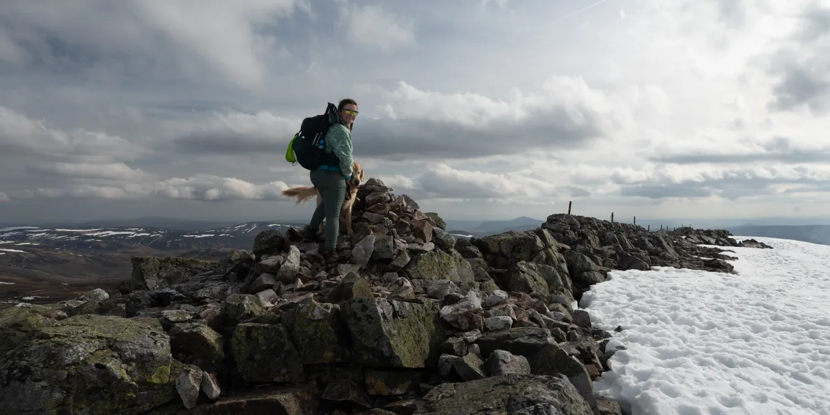
Creag Leacach Summit
The melting snow and the stonier underfooting made some sections a little more difficult than usual. Donna’s shin was unfortunately the victim of a bit of snow that collapsed underfoot and drove her shin into a large rock.
Stage 5 — The Descent to the Road
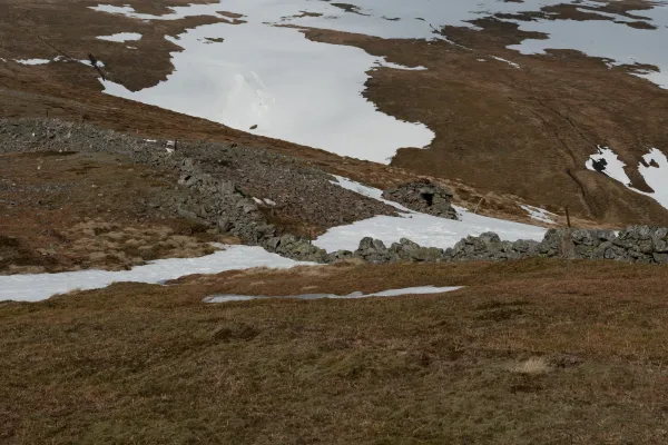
From Creag Leacach, retrace your steps back north-north-east to the bealach between Creag Leacach and Glas Maol. There is a large cairn here, continue north, and then follow the zig-zagging path down the steep slope to reach the top of the ski lifts, where a path winds down to the road below.
Take care in winter, the snow at this point can be exceptionally steep and unstable. We ended up re-climbing the hill towards the Glas Maol summit in order to avoid some particularly sketchy looking snow cornices that looked like they could collapse at any moment. Definitely not something worth risking for the sake of a bit more elevation.
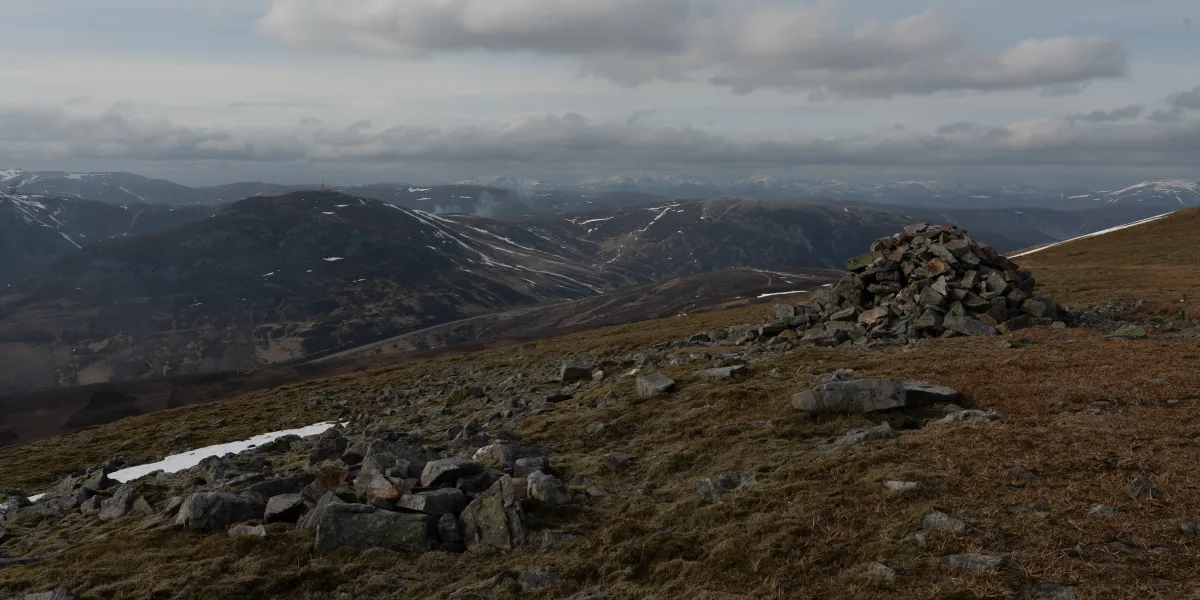
The large cairn on the bealach between Glas Maol and Creag Leacach
The zig-zagging path then takes you down past some of the lifts for the Ski center on a well defined path that leads to one of the carparks for the Glenshee Ski Center.
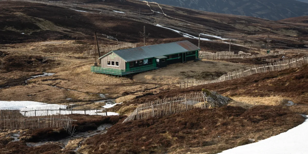
Some of the Ski Center Buildings you'll pass on the descent
From the road, you have two options: if Glenshee Ski Centre is open, stop in for a well-earned bite to eat and a hot chocolate. Otherwise, continue 2km north along the road back to the starting layby. We unfortunately missed the cafe by 15 minutes and had to trudge back to our van knowing we’d just barely missed out…
When to Climb
Summer (May-September) is the most reliable window. The plateau is at its driest, visibility is best, and the long days give you the time this circuit deserves. The views from Glas Maol in clear summer weather are outstanding.
Autumn (October-November) is excellent — the brown and golden tones of the plateau and the clarity of the air on crisp autumn days make this one of the most atmospheric circuits in the area.
Winter (December-March) is serious terrain. All four summits sit above 1,000m, the plateau is fully exposed, the paths disappear under snow, and navigation becomes genuinely demanding. Crampons and an ice axe are likely required. The A93 can be snow-gated — plan accordingly. That said, this circuit in full winter conditions is a spectacular day out for those with the right skills and experience.
Spring (April-May) can be a mix of lingering snow on the plateau and boggy ground lower down. Check conditions — it can be excellent or challenging depending on the year.
Combine With
This circuit pairs naturally with the Cairnwell Munros as a two-day Glenshee outing — the Cairnwell group on day one from the ski centre car park, and this 4-Munro circuit on day two from the layby 2km north. The contrast between the two routes (resort-feel vs proper wilderness plateau) makes it a satisfying combination.
If you are particularly eager, combining these with Tolmount and Tom Buidhe to make 6, or even doing all 9 is certainly a challenge worth considering. We bumped into one couple with their dog during our hike that were in the process of doing all 9 that day.
Mayar and Driesh in nearby Glen Clova make a good area companion for a third day.
Tips for This Route
- Navigation is essential. The plateau between Càrn an Tuirc, Cairn of Claise and Glas Maol is broad and featureless — bring a GPS or map and compass and know how to use them. In clag, it’s easy to drift.
- The ridge to Creag Leacach is the best section. Don’t rush it. The change in terrain from smooth plateau to rockier ridge is one of the best moments of the day.
- Come prepared for exposure. All four summits sit above 1,000m — wind chill and sudden weather changes are a real factor even in summer. Carry extra layers.
- Start early. At ~21km with ~1,000m of ascent, this is a long day. An early start gives you time to enjoy all four summits without rushing the return.
- The descent uses the ski lift path. From the bealach cairn between Creag Leacach and Glas Maol, cut left across the slope to reach the top of the ski lifts — from there a clear path winds down to the road. Don’t miss the cairn.
- These are quieter than the Cairnwell peaks. If you’ve done the Cairnwell group and found it busy, this circuit is a significant step up in both challenge and solitude.
Frequently Asked Questions
How does this compare to the Cairnwell Munros? It’s considerably longer, more committing, and far wilder. The Cairnwell group is an excellent introduction to Glenshee; this 4-Munro circuit is the natural step up once you’ve found your legs.
How long does the circuit take? Allow 8-9 hours for the full circuit including stops. Fitter walkers can complete it in around 7 hours moving time.
Where do you park? A roadside layby on the A93, approximately 2km north of Glenshee Ski Centre (PH10 7QE). Parking is free. There are no facilities at the layby — the nearest toilets and café are at the ski centre 2km south. The toilets at the Ski Centre are open 24/7.
Is navigation difficult on this route? Yes — more so than most routes at Glenshee. The plateau between Càrn an Tuirc, Cairn of Claise and Glas Maol is broad and largely pathless. A GPS track is strongly recommended, particularly in poor visibility.
Are the Munros suitable for dogs? The terrain is manageable for most well-conditioned dogs, but the distance (~21km), sustained ascent, and exposed plateau demand a fit, experienced dog. Keep on a lead near the road at the start and on the summit plateau in poor weather.