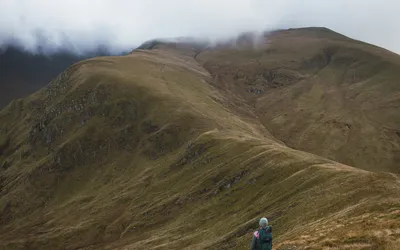
Munro · 1117m
An Stùc
Loch Tay to Rannoch Moor
Location
Map
Peak Facts
At a Glance
Height 1117m
Region Loch Tay to Rannoch Moor
Classification Munro
Latitude 56.5601° N
Longitude 4.2163° W
There are no detailed hike reports for An Stùc just yet.
Meanwhile: WalkHighlands · OS Maps · Mountain Forecast
Have you climbed An Stùc?
Log your ascent, rate the experience, and track your progress on the Munro list.
Nearby