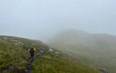
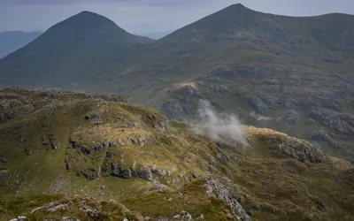
Munro · 942m · Beinn a' Chròin — Hill of Danger/Hill of the Cloven Hoof
Beinn a' Chròin
Loch Lomond to Loch Tay
Location
Map
Peak Facts
At a Glance
Height 942m
Region Loch Lomond to Loch Tay
Classification Munro
Latitude 56.3320° N
Longitude 4.6096° W
Gaelic Translation Hill of Danger/Hill of the Cloven Hoof
Field Reports
Hike Reports
Have you climbed Beinn a' Chròin?
Log your ascent, rate the experience, and track your progress on the Munro list.
Nearby